Hiking in Pustertal Valley
down in the valley, up to the hills and high in the mountains
Every one find his own way…come and enjoy

To Tiefrastenhütte
From the car park in the Winnebachtal near Terenten, follow path no. 23 or the signs to the Astnerbergalm and on to the Tiefrastenhütte. After about an hour you reach the beautifully situated Astnerberg-Alm. The path continues to follow the Winnebach for almost the entire route, which is also crossed a few times. The path becomes more ascending through the forest and we soon reach the tree line, while the path becomes steeper. We meet the Winnebach again shortly before we reach the small Tiefrastenhüttl, a small old hut. After the refuge, path no. 23 continues uphill to the Tiefrastenhütte.

Reservoir Neves
The Neveser See in the Tauferer Ahrntal is an ideal starting point for a beautiful high-alpine hike on the Neveser Höhenweg, or to the Eisbruggsee hut The Neves reservoir is located in the Mühlwalder Tal, a side valley of the Tauferer Ahrntal in the municipality of Lappach, which is why it is also known as the Lappacher Stausee. The lake can only be reached via a toll road in summer. The massive arch dam can be walked on in the summer months. Behind the lake you can see the mighty Zillertal Alps such as the Hohe Weißzint (3,371 m asl), the Große Möseler (3,480 m asl) and the Turnerkamp. A hiking highlight is the Neveser Höhenweg, which runs above the Neves reservoir and promises wonderful views of the surrounding mountains. Another destination with a reservoir as a starting point is the Edelrauthütte (Eisbruggjochhütte), located in a depression between the Fundres and the Lappach valley. The refuge at 2,545 m above sea level can be reached from the reservoir in 2.5 hours. The circular hike is not demanding, without major differences in altitude, can also be done with children and is suitable for buggys.

To Gönnerlam in Oberwielenbach
Hike from Oberwielenbach, at the entrance to the Wielental near Percha, to the Gönneralm (1,987 m), in the Rieserferner Nature Park. There are various ways to reach the Gönner Alm. The starting point of the first variant to the Gönneralm is the car park at the end of Oberwielenbach near Percha. Here you follow the marking no. 6. The path first leads through the Wielental before you reach the first crossroads after about 15 minutes walking time, where you turn right and follow the signpost "Gönneralm". You can reach the Gönner Alm via path no. 6. The ascent is a bit steep in places, but still doable. Walking time approx. 1 hour 15 minutes. For the second variant, the starting point is the "Erdpyramiden" car park, which is located approx. 600 m after the first car park P1 on the right-hand side. First you follow the "Pyramidenweg" - after about 15 minutes you turn left onto path no. 16A and follow it. Later you come to the forest path marked nr. 6. Following this you get to the Gönneralm walking time approx. 1.5 hours.

To Mount Sambock
Alle Bilder Shopping Videos News Mehr Suchfilter Ungefähr 3.800.000.000 Ergebnisse (0,37 Sekunden) Deutsch Englisch Coniferous forests, grass slopes, summit cross The local mountain of Falzes is a simple peak in the middle of the Puster Valley. The starting point is the 1600 m high mountain hamlet of Platten. First it goes through beautiful coniferous forests, then a gently rising, fairly wide grass ridge pulls you to the summit. Directions from Pfalzen to the mountain hamlet of Platten (parking available in the »Lechnerhof« area, 1586 m). From there the mark. 66A and follow the signs »Sambock«. On footpaths and forest paths mostly only moderately uphill to the tree line, then over the rising mountain meadows up to the flat hilltop "Auf den Platten" (2175 m) and northwards on trail 66 over the Graskopf up to the summit of the Sambock (2396 m; from Platten approx 2:30 hrs descent as ascent.

Geige - Hühnerspiel - Tesselberg
The hike starts in the village of Tesselberg, a hamlet belonging to the municipality of Gais, or halfway from Percha. First follow the sign "Tesselberger Alm" No. 7A. Shortly before reaching the last mountain farm, take the signpost "Geige" and turn left on path no. 8 steeply up into the forest. After about 1:30 hours you reach the tree line and you can already see the summit cross of the "Geige". The hike continues on the wide path no. 8, with the summit cross of the "Kor" always in view. Directly behind the summit cross, path no. 7A leads in the direction of the next summit. In a slight up and down you reach the rocky north ridge (secured with a chain) of the "Schönbichl". The last stretch to the summit is quite flat. For the descent, take path no. 7 directly to the Tesselberger Alm. Then return to the starting point on the forest path.

Around Peitlerkofel
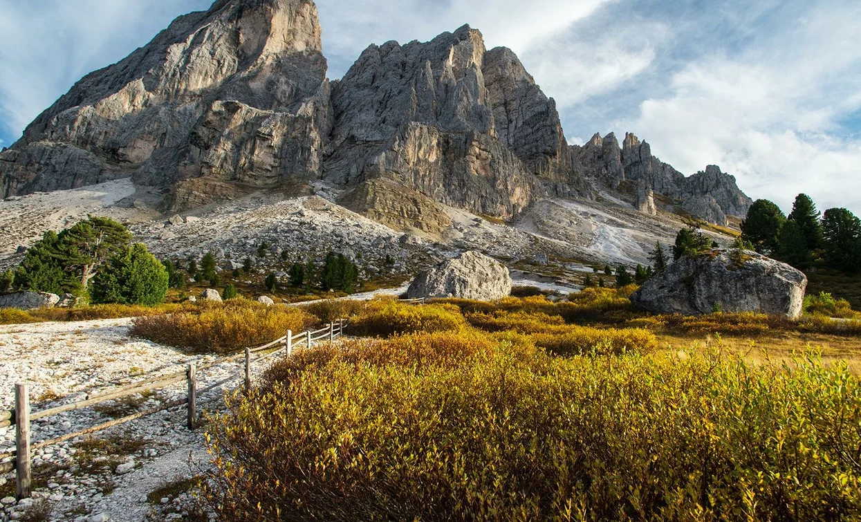
PUTIA TOUR (total time 4 hours) From Passo delle Erbe, path no. 8A leads through beautiful mountain meadows in the direction of the Peitlerscharte. At the crossroads, turn right under the north face of the Peitler, then follow path/trail 4 to the Peitlerscharte. At the transition from the Scharte, the route descends southwards through the alpine meadows to the Göma-Joch, on the northern slope it ascends to the Peitlerkofel. Circular hike 12.8 km - walking time about 4 hours, elevation gain 600m
